Map of the Shara desert showing the major ergs (broad, flat area of desert covered with wind-swept sand with little or no vegetative cover) and mountain ranges. The red dashed line shows approximate limit of the Sahara. National borders are in grey.
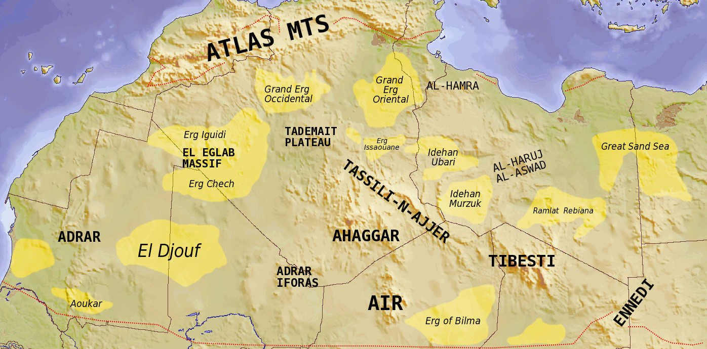
Map of the Shara desert showing the major ergs (broad, flat area of desert covered with wind-swept sand with little or no vegetative cover) and mountain ranges. The red dashed line shows approximate limit of the Sahara. National borders are in grey.